


Boat chartplotters are a crucial tool for navigating waterways and ensuring the safety of you and your vessel. At Force 4 Chandlery, we have many chart plotters and GPS devices from leading marine electronics brands. Our range includes Garmin, Raymarine, B&G, and more, all at incredible prices.
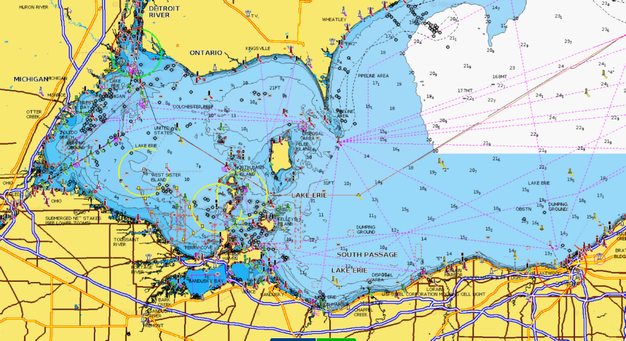
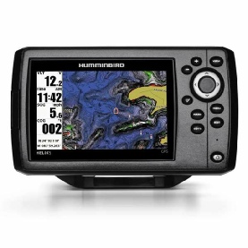
A chart plotter is a type of marine GPS system that boaters use to track their position and plan routes while on the water. These devices use GPS (Global Positioning System) to determine the boat's location and display it on a digital map. Chartplotter displays can also show other vital information, such as tides, water depth, buoys, and other navigational aids.
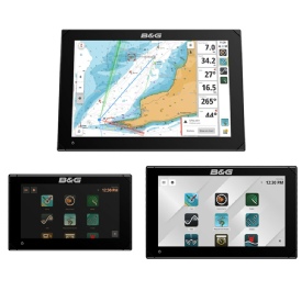
Chartplotters are available in various sizes and types. They range from small GPS devices to larger multifunction screens. This allows you to choose the one that best suits your needs and budget.
Certain plotter models can connect with AIS, RADAR, SONAR, and Autopilots. This allows you to receive live updates on your surroundings and navigate unfamiliar waters with greater ease.
To use a chartplotter, you need to access digital charts of the waterways you'll be navigating. The chartplotter accesses these charts via a memory card, such as Navionics charts or C-Map charts. Some models, like the Garmin GPSmap range, have preloaded maps that you can update using the internet. Trust us, these tools are essential for safe and successful marine navigation.

Anchoring and mooring are integral parts of boat handling, whether you are dropping your anchor in a bay for a swim or mooring up at a pontoon in a new marina.